In short
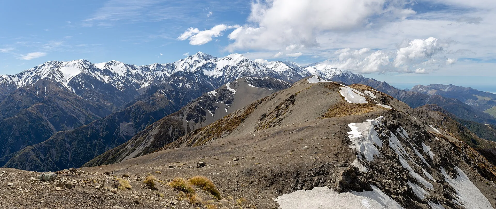
- Mt Fyffe (1,602 m) towers over the town: the lookout is about an hour up from the car park, Mt Fyffe Hut about 5 hours return, the summit a long, steep day.
- Easy bush walks at the foot of the range: the Hinau Track (45-minute loop) and the Fyffe-Palmer Track (about 1 h 45 min).
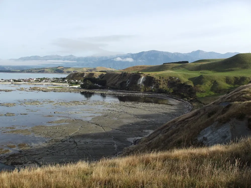
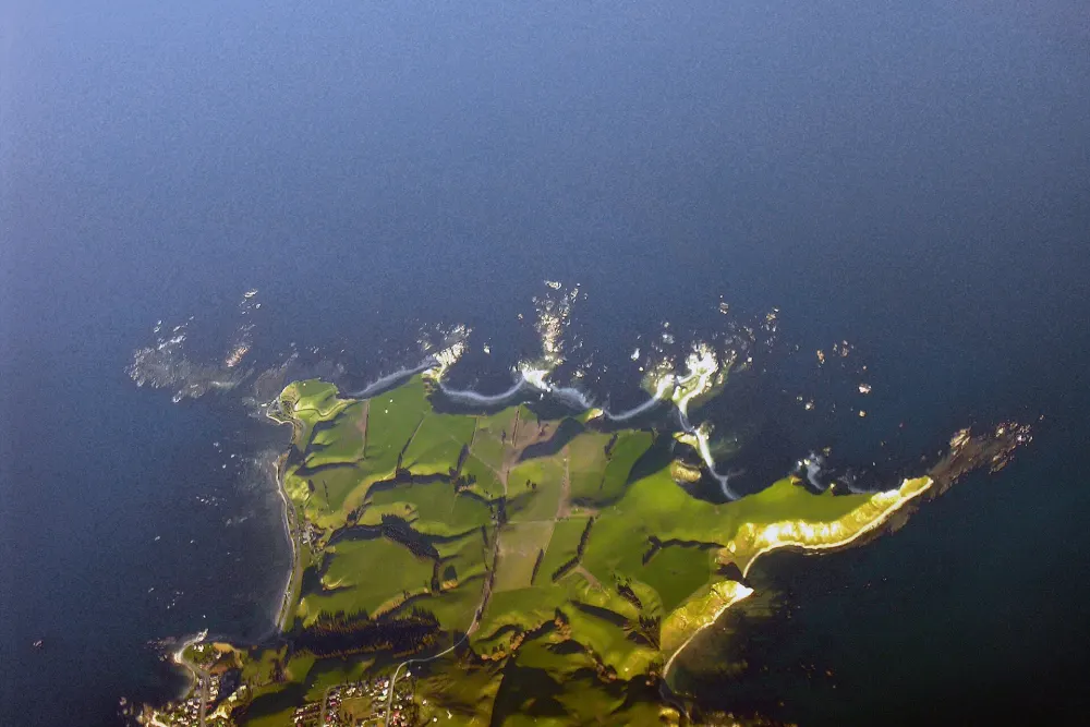
- The coastal classic is the free Peninsula Walkway (up to 3 hours).
- Multi-day: the private, hosted Kaikōura Coast Track (2 days, 26 km, south of town) and the rugged DOC Kowhai–Hapuku circuit (2–3 days).
- Check road and track status first: severe weather in July 2026 damaged roads and rivers around Kaikōura.
Kaikōura walks at a glance
| Walk | Time | Grade | Start |
|---|---|---|---|
| Peninsula Walkway | 1–3 h | Easy | Point Kean or South Bay car park / town |
| Hinau Track | 45 min loop | Easy | Mt Fyffe road end |
| Fyffe-Palmer Track | ≈ 1 h 45 min return | Easy–moderate | Fyffe-Palmer Scenic Reserve, end of Mt Fyffe Road |
| Mt Fyffe lookout (firepond) | ≈ 1 h up | Hard (steep) | Mt Fyffe car park |
| Mt Fyffe Hut | ≈ 5 h return | Hard (steep) | Mt Fyffe car park |
| Mt Fyffe summit (1,602 m) | 6–8 h return | Hard, alpine weather | Mt Fyffe car park |
| Kowhai–Hapuku circuit | 2–3 days | Advanced backcountry | Grange Road / Mt Fyffe car park |
| Kaikōura Coast Track (private) | 2 days, 26 km | Moderate | Conway Flat Road, south of Kaikōura |
Mt Fyffe: lookout, hut and summit
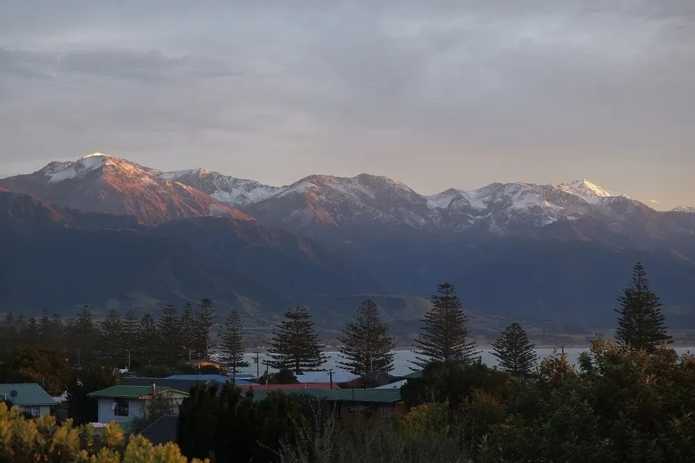
Mt Fyffe (1,602 m), named after the whaling and farming Fyffe family, is the peak that dominates every photo of Kaikōura. It sits in Ka Whata Tu o Rakihouia Conservation Park. The Mt Fyffe car park is about 15 km from town via Ludstone, Swamp and Postman’s Roads; vehicles are not allowed beyond it.
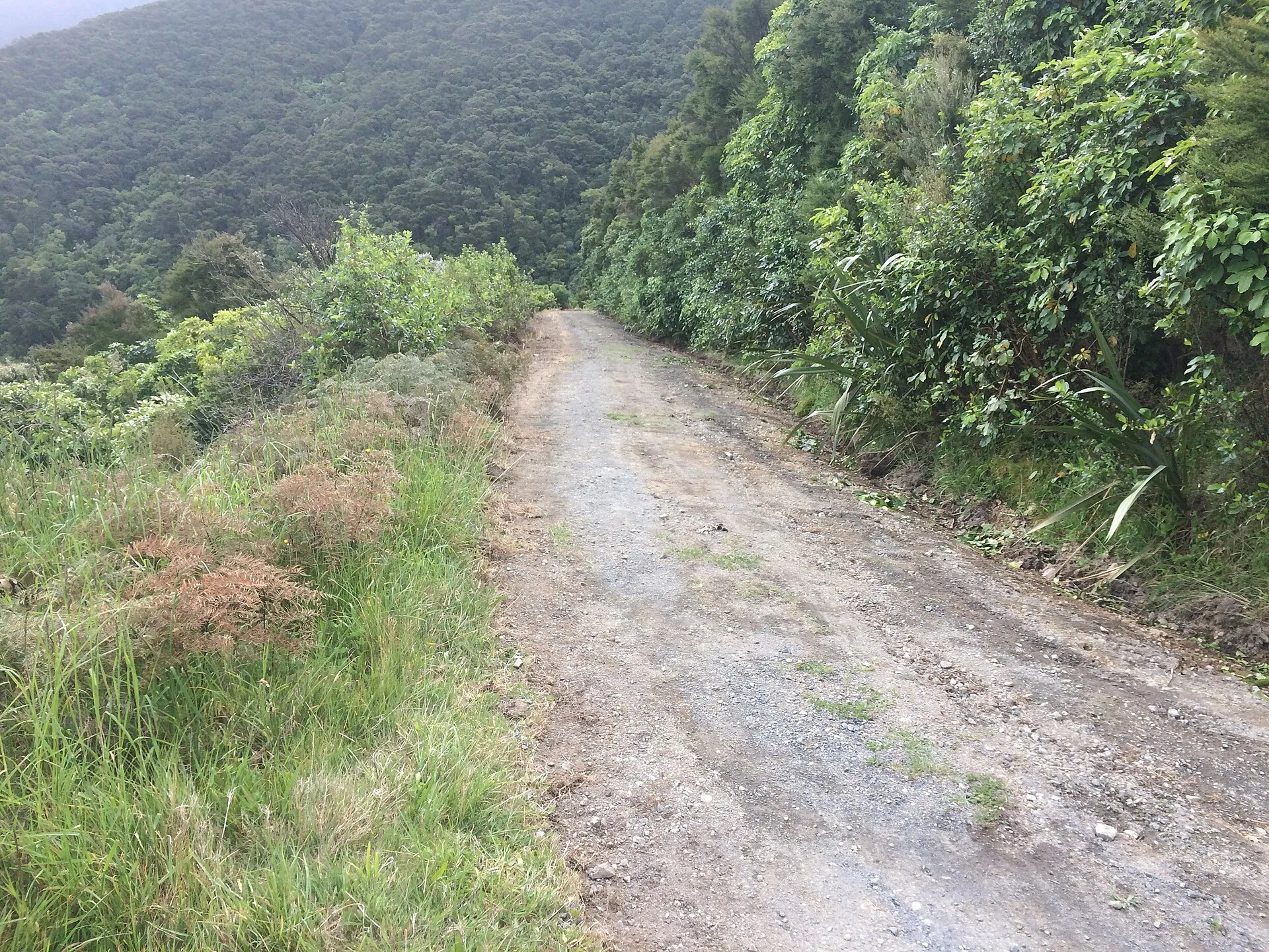
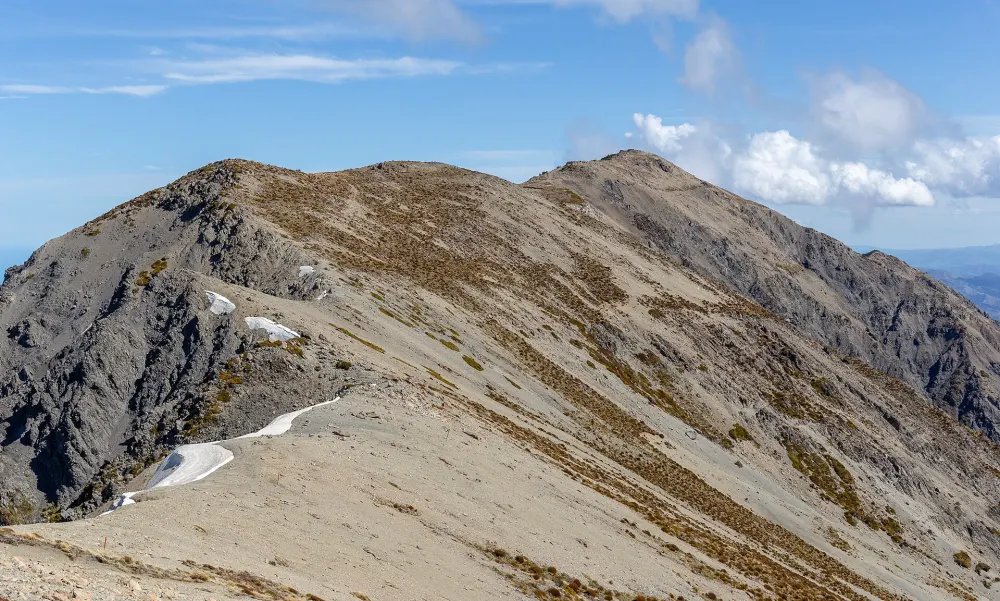
The Mt Fyffe Track is an old 4WD road that climbs the long south-west ridge relentlessly – it is shared with mountain bikers and is steep from the first metres. After about an hour you reach a lookout near a firepond with views over the Kaikōura plains and peninsula: a good turnaround point for most visitors. Mt Fyffe Hut is about 5 hours return from the car park and is a classic place to watch the sunrise over the Pacific. Fit, well-equipped hikers continue to the summit, where on a clear day you can see Banks Peninsula to the south and even the North Island; plan 6–8 hours return and start early.
There is no water on the ridge and almost no shade. Weather on the Seaward Kaikōuras changes quickly – even for the lookout DOC advises a windproof layer, and in winter the upper mountain carries snow and ice that require alpine skills and equipment.
Short forest walks: Hinau and Fyffe-Palmer
At the foot of the range, two short tracks show the native forest that once covered the Kaikōura plains:
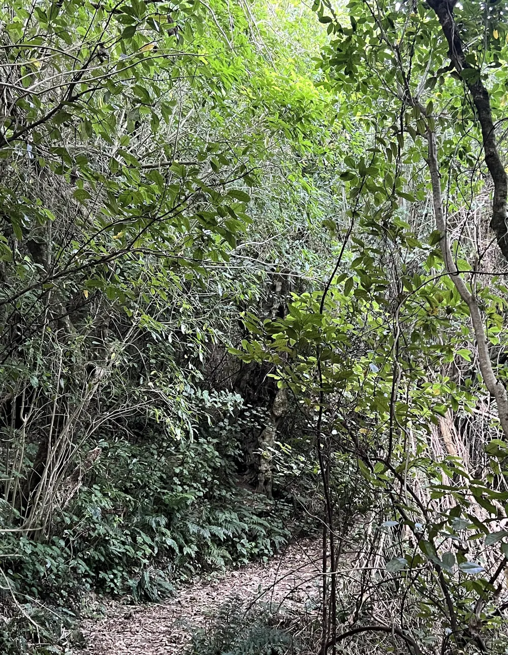
- Hinau Track – a 45-minute loop through unusual lowland forest with large hīnau trees (whose berries Māori once pounded into flour) and ferns. Flat and family-friendly; it starts near the Mt Fyffe road end.
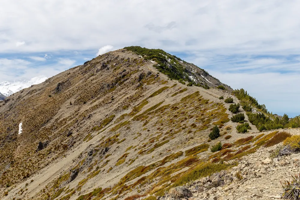
- Fyffe-Palmer Track – about 1 hour 45 minutes return from the end of Mt Fyffe Road through the Fyffe-Palmer Scenic Reserve, climbing through bush and farmland to viewpoints over the plains, peninsula and coast. A good taste of Mt Fyffe without the full climb.
Both are quiet, shaded and good on hot summer days or when the coast is windy.
The Kaikōura Coast Track (2-day private walk)
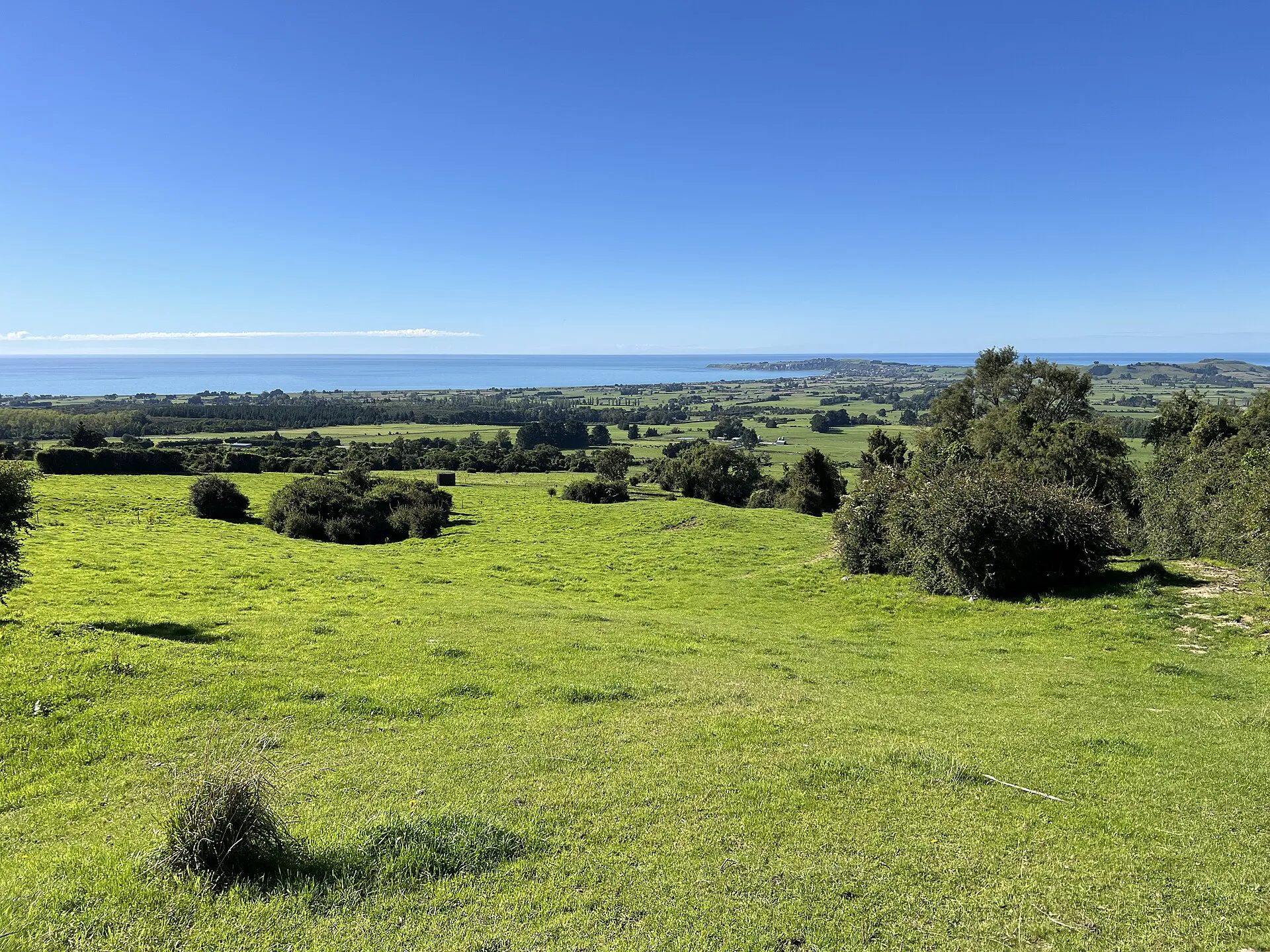
South of Kaikōura, between the Conway River and Cheviot, farming families run the Kaikōura Coast Track, a two-day, 26 km self-guided walk over coastal farmland, hills and beaches with views of the Seaward Kaikōura Range. Each day covers about 13 km (4–6 hours). Walkers stay in comfortable cottages with hot showers and kitchens, luggage is transferred between them so you carry only a day pack, and meals can be arranged. Numbers are limited to ten walkers a day, so it never feels crowded.
It starts and ends at 356 Conway Flat Road, Cheviot, about two hours from Christchurch Airport and an hour south of Kaikōura. Bookings and seasonal dates are through the operator’s own website. The nearby stretch of State Highway 1 by the Conway River was rebuilt after the July 2026 floods – allow for roadworks.
Backcountry: the Kowhai–Hapuku circuit
Experienced trampers can link the Hapuku and Kowhai valleys over Kowhai Saddle (1,153 m) in 2–3 days: Grange Road to Hapuku Hut (about 4 h), Hapuku Hut to Kowhai Hut over the saddle (about 6 h, the hardest leg) and Kowhai Hut out to the Mt Fyffe car park (about 3 h). DOC describes it as rugged: earthquake and flood debris, a re-route around a slip, rockfall sections and several river crossings. You need route-finding skills, a forecast and a plan to wait out high rivers.
Even if you are not tramping, the Kaikōura ranges are spectacular from the air: a 25-minute coastal and alpine scenic flight, or Wings Over Whales’ 45-minute extended whale-and-mountain flight, follows the peaks and the coast.
Peketā: coastal and alpine scenic flight (Air Kaikōura)
A short scenic flight from Kaikōura aerodrome along the coast and up to the Seaward Kaikōura Range; rated 5.0 from 25 reviews as of November 2026.
Check availabilityBook via GetYourGuide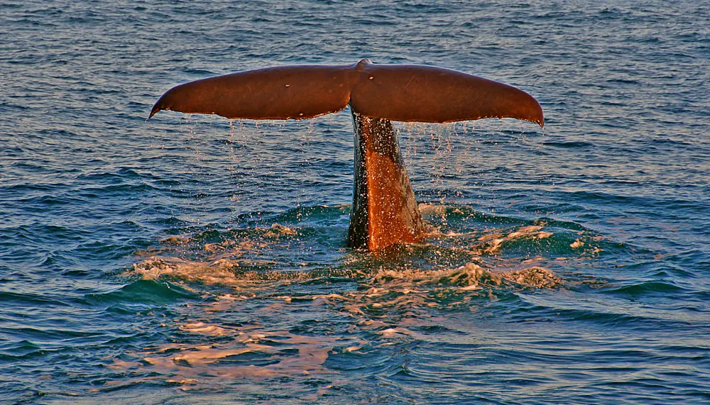
Extended Whale Flight & Mountain Scenic Tour
Wings Over Whales' longer flight: extra time circling the whales, then the snowy Seaward Kaikōura Range and the peninsula. Rated 5.0/5 on GetYourGuide (as of November 2026).
Check availabilityBook via GetYourGuideTour listings are on GetYourGuide. Prices, times and cancellation terms are shown live on each listing and can change; Kaikoura.com may earn a commission at no extra cost to you.
Coastal walks around town
- Kaikōura Peninsula Walkway – clifftops, seals and seabird colonies; up to 3 hours.
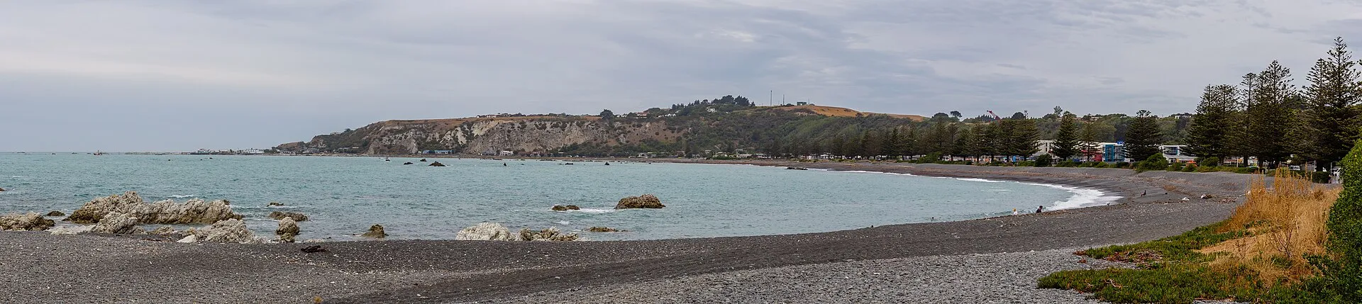
- Esplanade and South Bay foreshore – flat walking and cycling paths around the bay; the elevated path from South Bay car park to Limestone Bay is wheelchair accessible.
- Ōhau Stream Walk – the former “seal waterfall” walk north of town has been closed by DOC since the 2016 earthquake and remained closed as of November 2026; view seals from the Ōhau Point lookout instead (attractions).
Practical tips for hiking in Kaikōura
- Transport: there is no public transport to the trailheads. Local taxi and shuttle operators will drop off and collect (minimum charges may apply); otherwise drive.
- Road status: after the July 2026 storm, check the Kaikōura District Council website for rural road closures before heading to Mt Fyffe or the Hapuku road end.
- Season: spring and autumn are ideal; summer is hot and dry on the ridges; winter brings snow above roughly 1,000 m – Mt Fyffe’s upper slopes become alpine terrain.
- Dark skies: sleeping at Mt Fyffe Hut puts you inside the Dark Sky Sanctuary – spectacular on a clear night.
- Leave no trace: carry out rubbish, use toilets at car parks, and respect farmland and stock on access roads.
Frequently asked questions
How long does it take to climb Mt Fyffe?
About an hour to the lookout near the firepond, about 5 hours return to Mt Fyffe Hut and typically 6–8 hours return to the 1,602 m summit from the car park, depending on fitness and conditions.
Where does the Mt Fyffe track start?
At the Mt Fyffe car park, about 15 km from Kaikōura via Ludstone, Swamp and Postman’s Roads.
What is an easy walk in Kaikōura?
The Hinau Track (45-minute loop) or a section of the Peninsula Walkway between Point Kean and the first viewpoints.
Is the Kaikōura Coast Track guided?
No, you walk independently on marked farm tracks, but accommodation, luggage transfer and meals are organised by the operator. It takes two days and is limited to ten walkers a day.
Is the Ōhau waterfall track open?
No – DOC closed the Ōhau Stream Walk after the 2016 earthquake and it was still closed as of November 2026.
Sources and official information
Facts were checked against these official sources in November 2026. Opening hours, prices and timetables change, so confirm before you go.
Kaikoura.com is an independent guide, not the official site of any tour operator or of the Kaikōura District Council. Some links are affiliate links: tours go to GetYourGuide and hotels go to Booking.com, and we may earn a commission at no extra cost to you.